
The state of glaciers in Central Asia has become increasingly important in the context of climate change. Monitoring the region’s main source of freshwater requires regular measurements and analysis of meteorological and hydrological data, combined with satellite observations and modern glacier surveying techniques in remote mountain areas. The data collected then needs to be properly processed and used for calculations and modelling to assess possible changes in glacier conditions.
This was the focus of the International Summer School 2026 “Knowledge Transfer and Data Exchange”, held from August 3 to 10 in Kyzyl-Suu village, Jeti-Oguz District, Issyk-Kul Region, Kyrgyz Republic.
A series of training sessions was organized for 36 specialists from Central Asian countries working in meteorology, hydrology, glaciology and ecology. Participants included representatives of research and educational institutions, hydrometeorological and water management services, and specialists involved in monitoring natural processes.
Participants did more than attend lectures on glaciers. They went into the mountains, worked with monitoring equipment, conducted field observations, and then used the data they collected for calculations.
This was one of the key features of the 2026 Summer School: modern monitoring methods and hands-on work with real field data were brought together in a single training program.
Climbing onto the Glacier
The practical component began at the state meteorological station in Chong-Kyzyl-Suu, located at approximately 2,555 meters above sea level. Participants learned about the operation of the station and the hydrological gauging post on the Chong-Kyzyl-Suu River, and completed an acclimatization period before continuing their ascent into the high mountains.
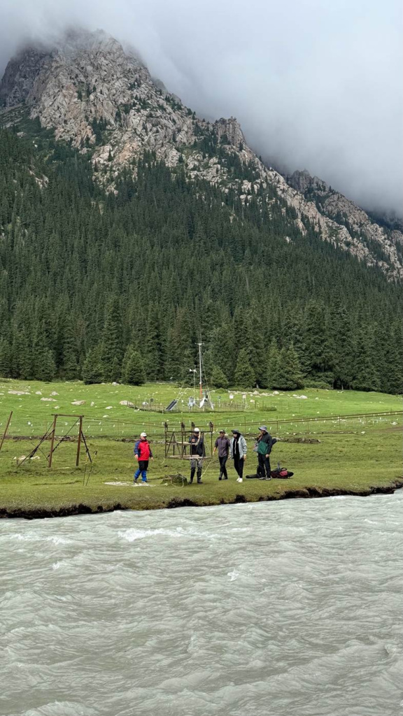
On August 5, the group travelled to Kara-Batkak Glacier, at an elevation of approximately 3,300 meters. After setting up the field camp, participants began working directly on the glacier.
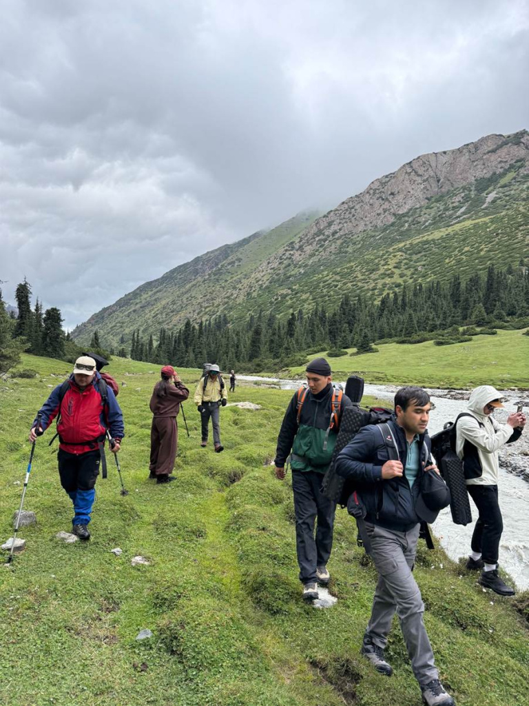
They conducted remote surveys of the glacier surface using unmanned aerial vehicles, carried out GPS surveys of the glacier terminus, and measured ablation—the amount of ice lost through melting. They also worked with automatic weather stations and meteorological instruments.
The field training continued the following day. Participants strengthened their skills in using GPS equipment and automatic stations, as well as in remote sensing and instrumental surveying techniques. They also carried out hydrological measurements at the Kashka-Tor source gauging station in the upper part of the basin, located at an elevation of about 3,260 meters.
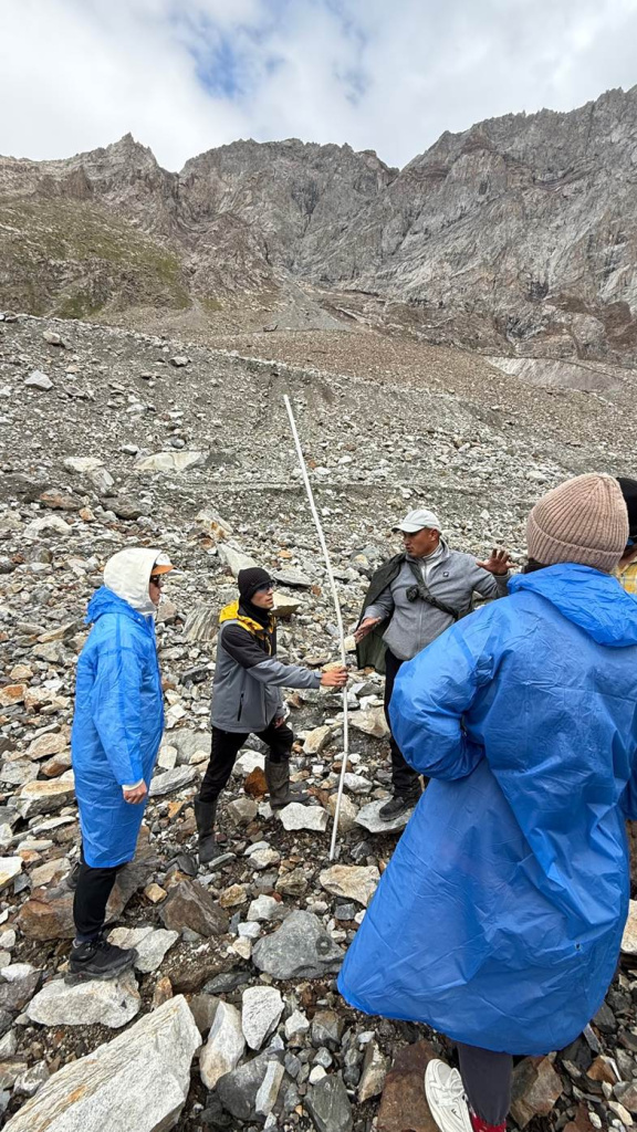
Taken together, these measurements provide a more comprehensive picture of processes taking place in the high mountains. Weather conditions, glacier dynamics and water flows are monitored using different methods, and the resulting data can then be used for further analysis.
Different Links in the Monitoring System: From High-Mountain Sites to Lake Issyk-Kul
On August 7, participants moved from the high-mountain sites to Lake Issyk-Kul and visited the Kara-Bulun lake monitoring station.
There, they learned about the use of limnigraphs—devices for monitoring water levels—as well as GPS measurements and satellite altimetry. Specialists from the Tien Shan International Scientific Center also presented the observations carried out at lake monitoring stations, including those in Balykchy and Kara-Oi.
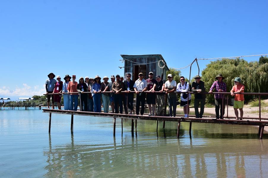
Over several days, participants were therefore able to see different components of the observation system, from the lake to high-altitude meteorological and glaciological sites.
This approach was also important from an educational perspective. Rather than working with abstract examples, participants worked directly with real monitoring sites and data collected under Tien Shan conditions.
How Monitoring Helps Reveal the Future of Glaciers
The field observations provided the foundation for the scientific component of the program. On August 8, the Tien Shan International Scientific Center hosted a seminar on global climate change, the current state and projected evolution of glaciers, and their implications for water resources in Central Asia.
F. Huybrechts from Belgium presented a global perspective on glaciers and climate change. O. Rybak from Russia discussed approaches to modelling the surface mass balance of mountain glaciers. A. Kokarev from Kazakhstan presented data on the dynamics of glaciation in Kazakhstan.
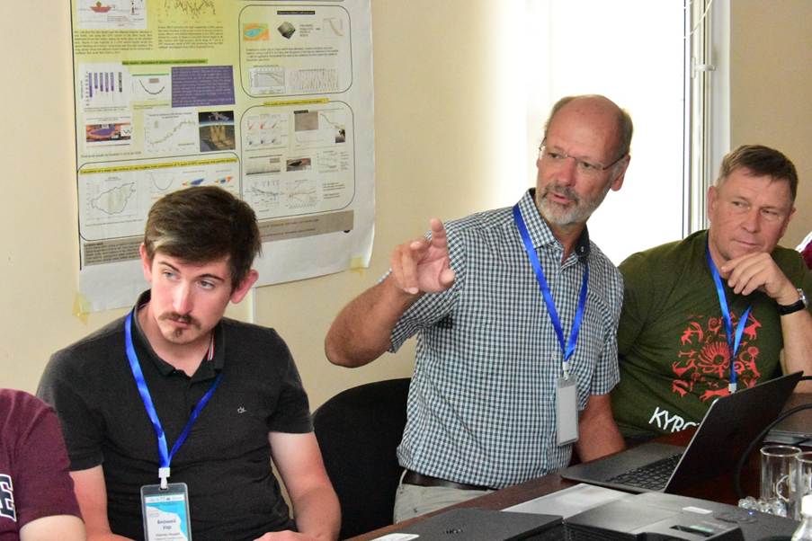
Other presentations addressed more specific topics. J. Verheijen discussed the impact of supraglacial debris cover on glacier melt, using Jankuat Glacier as an example. V. Uar from France presented the evolution of Petrov Glacier in the 21st century under different climate scenarios. K. Tanaka from Japan discussed river runoff modelling and data collection.
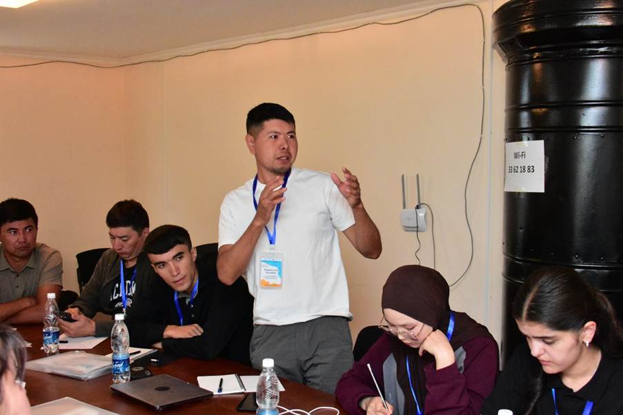
For participants, this was a continuation of the practical work they had already carried out in the mountains. Discussions focused on different methodological approaches, opportunities to apply models, and prospects for further developing glacier monitoring.
When Data Become Calculations
On August 9, participants moved to the next stage: a practical training session on “Methodology and Data Collection for Modelling the Evolution of Glaciers in the Inner Tien Shan.”
The trainers—O. Rybak from the Institute of Water Problems of the Russian Academy of Sciences, A. Kokarev from the Central Asian Regional Glaciological Centre in Kazakhstan, and Tien Shan International Scientific Center specialists A. Makeshov and S. Omurbekov—introduced a methodology for calculating the amount of melted ice in water equivalent.
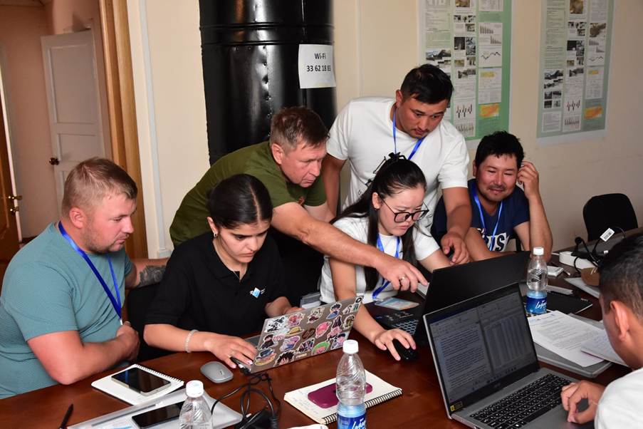
Two working groups then independently carried out calculations using data from Bordu Glacier for July 11, 2019, and July 11, 2020. Participants presented their results and discussed them with the trainers.
This was where the principle underpinning the entire Summer School became particularly clear: first collect the data, then learn how to process it correctly, and finally use it for calculations and modelling.
For young specialists, the Summer School provided an opportunity not only to learn about modern monitoring methods but also to apply them in real-world conditions. For experienced scientists and experts, it provided a platform to exchange methodologies and strengthen professional cooperation.
Why Summer Schools on Water Resources Monitoring Matter for Central Asia
Changes in mountain glaciers cannot be studied using a single method or at a single location. That is why the Summer School combined meteorological, hydrological and glaciological observations, field measurements and data analysis.
The infrastructure of the Tien Shan International Scientific Center played an important role. Its network of high-mountain and lake monitoring sites made it possible to conduct training directly at monitoring locations and use real data from long-term observations.
The Summer School also created opportunities for knowledge transfer among established specialists, international experts and young researchers from Central Asia.
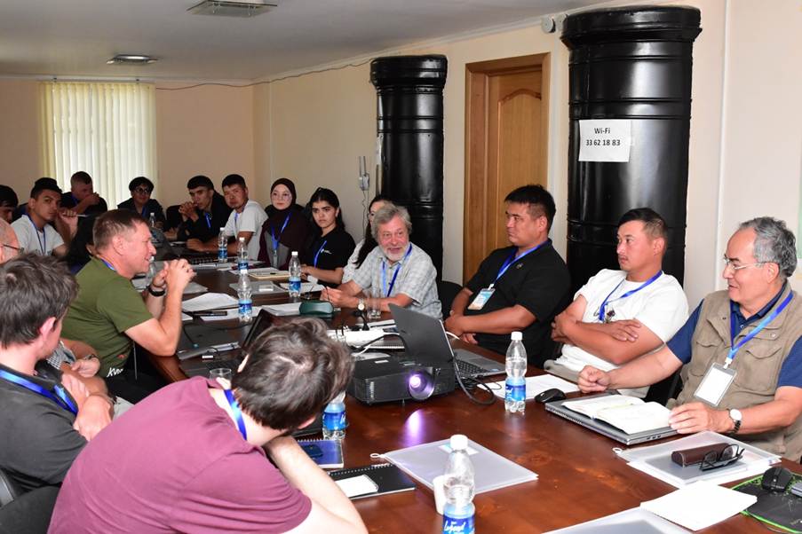
Over the course of one week, participants moved from meteorological stations and hydrological gauging posts to a glacier and a lake monitoring station, and then from field observations to calculations and discussions on modelling approaches.
This practical exchange of knowledge and data was at the heart of the 2026 Summer School.
With the support of the RESILAND Kyrgyzstan project, the Summer School contributed to strengthening the professional capacity of specialists across Central Asia, fostering scientific and professional cooperation, and advancing the knowledge and data needed to study changes in mountain glaciers and their associated water resources.
The Summer School was organized by the Tien Shan International Scientific Center at the D. Mamatkanov Institute of Water Problems and Hydropower of the National Academy of Sciences of the Kyrgyz Republic, with support from the Kyrgyz Republic Resilient Landscapes Restoration Project (RESILAND Kyrgyzstan), implemented under the World Bank’s regional Central Asia Resilient Landscapes Restoration Program (RESILAND CA+).
----------------------------
The Kyrgyz Republic Resilient Landscape Restoration Project is part of the World Bank’s RESILAND CA+ program, aimed at strengthening landscape resilience across Central Asian countries. Similar national and regional activities are also being implemented in Tajikistan and Uzbekistan.
The Regional Environmental Centre for Central Asia (CAREC) implements the regional component of the Kyrgyz Republic Resilient Landscape Restoration Project.
Additional information:
Deputy Director, Project Implementation Department under the Ministry of Emergency Situations of the Kyrgyz Republic / Project Manager, RESILAND Kyrgyzstan
Lyudmila Kiktenko
Deputy Team Leader, “The Kyrgyz Republic Resilient Landscape Restoration Project: Regional Component” Project, CAREC