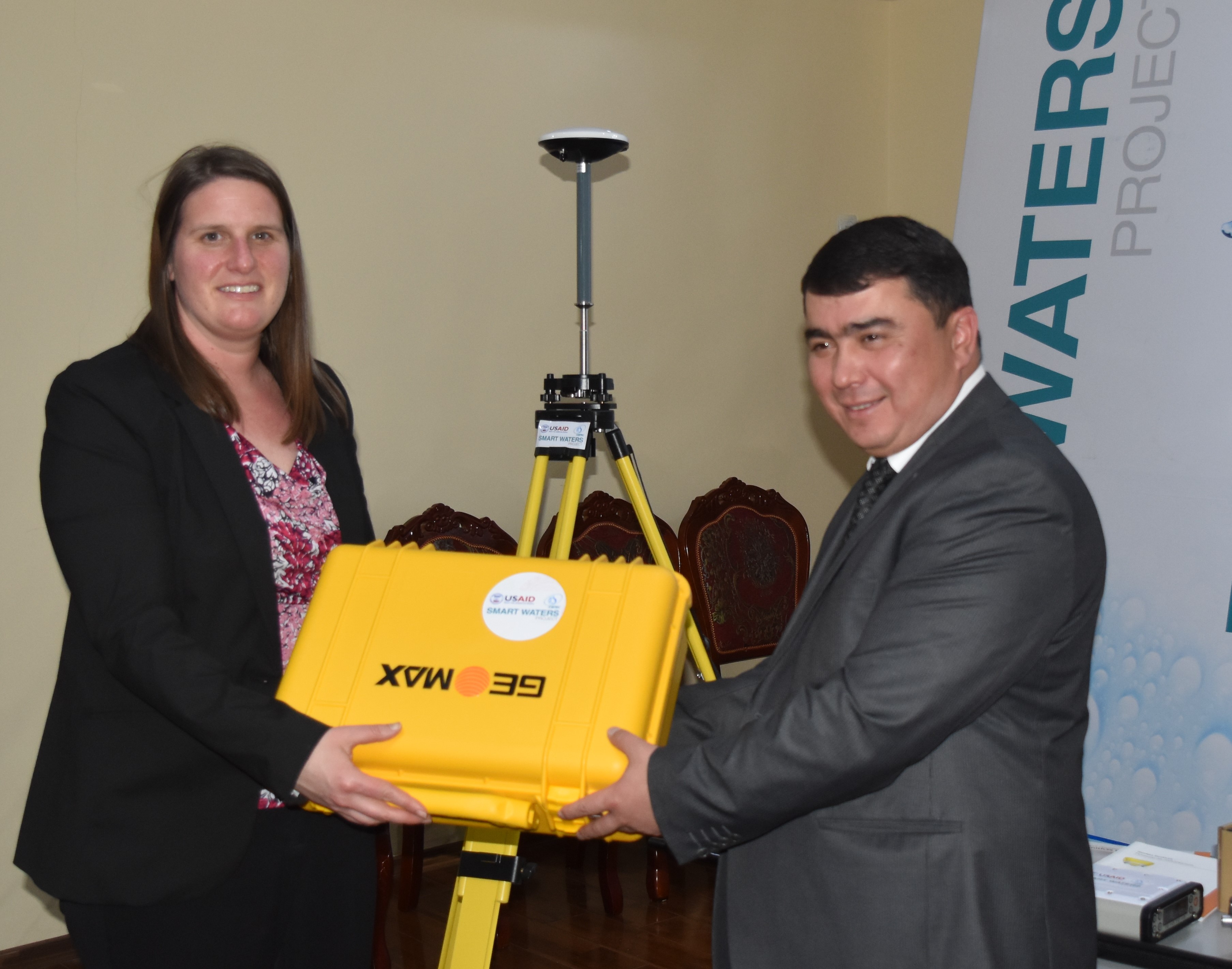
On February 23 CAREC and USAID handed over multifunctional measuring GIS equipment to the Agency of Land Reclamation and Irrigation under the Government of the Republic of Tajikistan (ALRI). Agency acquired a high-precision satellite receiver Zenith35 Pro Tilt & Go from GeoMax.
The equipment of this manufacturer receives signals from all existing satellites and carries out measurements underwater. Also, the Zenith35 Pro Tilt & Go has a unique function - the receiver can determine the exact coordinates, even if it is not possible to provide a vertical position of the landmark. For example, while measurement near to buildings or hydraulic structures.
«The availability of modern high-precision equipment for the design of hydraulic structures will help strengthen the ALRI's potential in their daily work»," said Laura Cizmo, Acting USAID Country Director in Tajikistan. The equipment of such high accuracy comes for the first time to the ALRI, before specialists mostly used outdated devices.
This technical equipment was provided by CAREC, emphasising the successful and fruitful cooperation within the framework of the project "Smart Waters".
Bakhrom Gaforzod, Deputy Director of the Agency for Land Reclamation and Irrigation under the Government of the Republic of Tajikistan and National Coordinator for Project Implementation, said: "ALRI sincerely thanks, CAREC and USAID for providing continued support in promoting the reform of the water sector in the Republic of Tajikistan. The transferred technical equipment will be effectively used to strengthen the capacity of the design institute, which serves the whole water sector ".
The equipment will serve as a material addition to the educational activities held in 2016-2017 with the aim of enhancing and strengthening the professional potential of water sector specialists.
